Visiting the Snaefellsnes Peninsula, Iceland
We left Holmavik after breakfast, which we had at the hotel this morning.
Our destination today is the Snaefellsnes Peninsula, another wonderful Icelandic region.
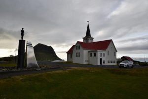
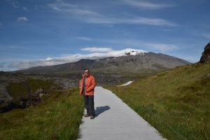
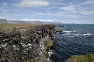
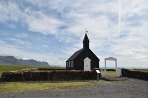
Our first stop was at the south coast of Iceland’s Snæfellsnes peninsula at a place called Budir. This place is a village with only a hotel and a tiny black church called the Búðakirkja. Whilst the hamlet of Búðir doesn’t sound like much, especially when compared to Snæfellsjökull, the dormant ice-capped volcano looming nearby, what Búðir lacks in infrastructure it more makes up for in its surreal, dreamlike landscape, epitomised by the singular Búðakirkja. Búðir sits within the Búðahraun lava field, an expansive environment of torn-up earth that has grown over with grassy flora. One could easily imagine creatures from folktales living amongst the jagged rock formations and in the deep holes that have formed here.
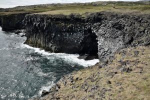
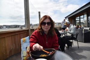
We then kept on driving to the town of Arnarstapi, one of the many pretty small fishing villages dotted along the Snaefellsnes peninsula. We had lunch at this place today. We also stopped at the town of Hellnar, which sits only a few minutes drive from Arnarstapi. Hellnar used to be one of the largest fishing stations in the Snaefellsnes peninsula many years ago. Now Hellnar has a hotel, a restaurant and a café, as tourism is the main source of income and employment for this village.
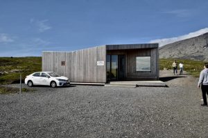
We also stopped by the visitors centre for the Snaefellsnes peninsula area in Malarrif opposite the lighthouse.
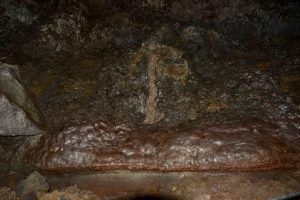
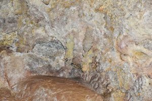
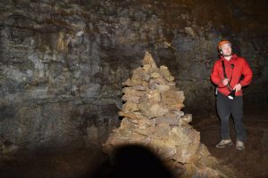
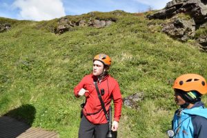
Afterwards we booked into a cave tour. We visited the Vatnshellir lava cave, which is situated within the Snæfellsjökull National Park. This tour is called “the first steps in the Journey to the Centre of the Earth”, and we descended 35 metres underground. This was a very interesting and worthwhile activity. Pam and I enjoyed this tour very much.
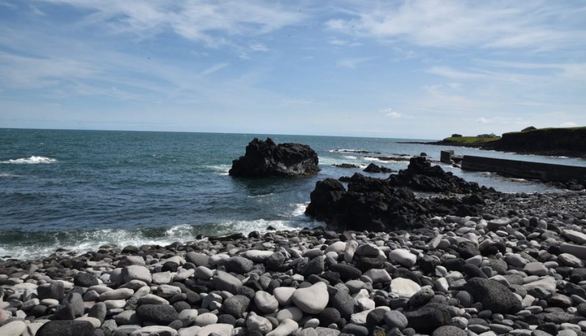
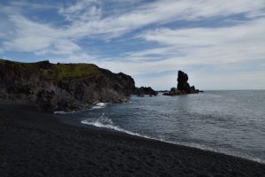
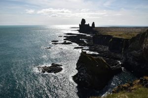
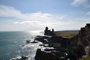
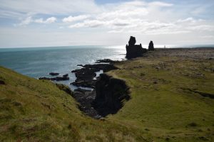
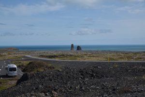
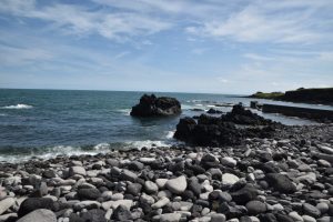
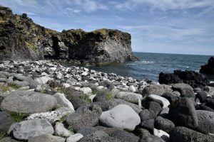
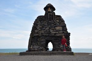
Afterwards we visited the Dritvik area. Dritvík is a place with a beautiful landscape and rich history. Today it is difficult to imagine that Dritvík was one of the largest fishing stations in Iceland for centuries. The first settler in Dritvík was the half-man / half troll Bárður Snæfellsás. On the beach, we saw several spectacular rock formations in addition to the beautiful pebble stones. One of the rocks dividing the cove is Bárðarskip (Bárður’s Vessel), and another one is Tröllakirkja (The Troll’s Church).
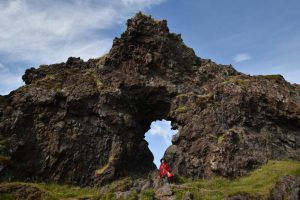
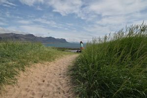
We then walked to Djúpalónssandur or the Black Lava Pearl Beach. This is like stepping into a lava wonderland. The road that we travelled to reach Dritvik and Djúpalónssandur is cut through a lava field with huge lava formations. There is a peculiar rock here with a hole in it, called Gatklettur. Through the hole, you can see Snæfellsjökull glacier.
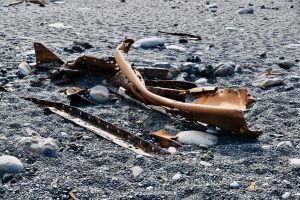
On the beach, we saw iron pieces from the British trawler, The Epine GY7, which was wrecked east of Dritvík cove on the night of 13th March 1948. Fourteen men lost their lives and five were saved by the Icelandic rescue team.
On exiting the lava field, we reached the black Lava pearl beach, as the whole beach is made of small black smooth pebbles called Djúpalónsperlur – Pearls of Djúpalón.
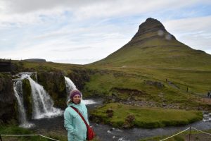
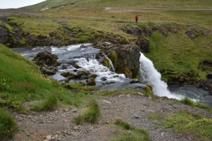
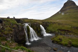
We then drove through a number of fishing villages prior to reaching our destination in Grundarfjorour. Just outside the town, we stopped at the beautiful Kirkjufellsfoss waterfall. This is situated near the base of Kirkjufell mountain, which is one of Iceland’s most photogenic mountains.
The wind was blowing and therefore the temperature felt colder than it really was, nevertheless we needed our hats and jackets to somehow stay warm.
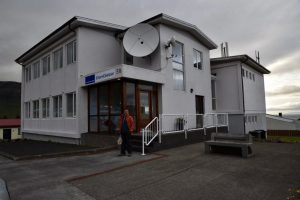
Our hotel in Grundarfjordur used to be a post office, and it still has the old safe inside. We even got a room upgrade and have views of the sea and Kirkjufell mountain.
A lot of great highlights today. See some more photos from today’s journey here: https://adobe.ly/2NoZr4N
Another great day in Iceland.
